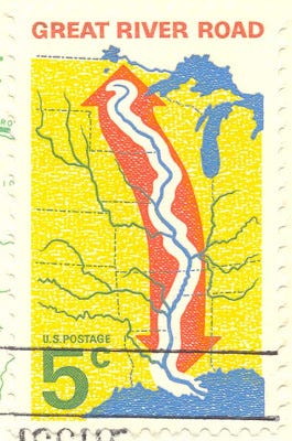
Today’s stamp depicts the Great River Road, a collection of state and local roads that goes from New Orleans to Canada. It was published in 1966 as a single-issue, meaning it wasn’t part of a stamp series.
The Great River Road is one of the oldest multi-state roadways in America. It was first conceived in 1936 by the then-Governor of Missouri Lloyd Stark, who was looking for ways to provide recreation opportunities for Missourians. A recreational survey he commissioned recommended building a parkway along the west bank of the Mississippi River, and to meet with other states regarding the possibility of extending this parkway to the other states that bordered the River. The other 9 states—Minnesota, Wisconsin, Iowa, Illinois, Kentucky, Tennessee, Arkansas, Mississippi and Louisiana—were all enthusiastic about the plan and pledged the develop the idea further. In 1938, representatives from the 10 states met with Secretary of the Interior Harold Ickes to promote the concept further. Ickes was enthralled with the concept and suggested that the states develop a commission to get the ball rolling on the project. The states would call this project the Mississippi River Parkway Planning Commission, or the MRPC for short.
Planning and development of the road was taken up by the MRPC. Federal legislation to fund a study for the feasibility of making such a road stagnated until 1949 due to World War II; the study was finally completed in 1951, 13 years after the MRPC was formed. The study concluded that the road would bring “national significance” to the country and that the route should follow pre-existing roads rather than building an entirely new highway. The only guidelines given to the states was that the route had to be dedicated to both nearby recreational activities as well as moving traffic.
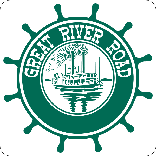
The road began to take shape by the late 1950’s, with various highways along the river being adorned with the logo of the Great River Road (see above). Full-scale development on the road, however, didn’t take shape until 1976, when funds were allocated towards development as part of that year’s Federal Highway Act. The funds would be used to convert existing roads into parkways and came attached with specific criteria, stating that the road have dedicated segments dedicated to the River’s “scenic views” and “provide convenient access to larger population centers in the state, sights of historical, archeological, scientific or cultural interests”. The federal government and the MRPC gave advice to the individual states on what roadways to include as segments in the Road; however, the final decision would be made by the states themselves. The route was considered completed in 1988, when the final state routes were designated as part of the Road.
The Road has made a major impact on the Mississippi River region since development started in the late 1950s. Studies commissioned in the late 1980s found that the 125 counties bordering the River benefitted from over $10 billion in travel revenue and over 20,000 tourism-related jobs. Communities along the Road have also developed more apartment complexes and businesses, another sign of the economic benefits the Road brought to the region.
Today the Great River Road is known as one of America’s great scenic routes alongside the Blue Ridge Parkway, California’s Pacific Coast Highway, the historic Route 66, and Florida’s Overseas Highway. Its expansive, 2,069 mile route provides gorgeous views across a defining landmark of the American landscape.
Further reading (if you’re interested):
Final Case Study for the National Scenic Byways Study: Case Study on the Great River Road commissioned by the Federal Highway Administration in 1990.
A website for the Great River Road hosted by the MRPC.
Detailed maps for each state's route on the Great River Road.
Did you like this post? Go ahead and hit the subscribe button below and get the Stamp of the Week newsletter in your inbox! New post every Wednesday.


